
Dog Friendly Data
This repository contains scripts I used to scrape and process data related to potential dog-unfriendly locations.
Data
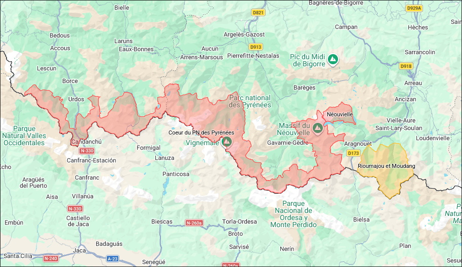
I collected this data to create a map of dog-unfriendly locations. The collected data is actually meant to identify possible dog-prohibited areas; only areas that I've confirmed to be dog-restricted are then moved to the concerned category. I always add a justification for each area, and I try to provide a link to the official source of information. If you find any errors or have additional information, please feel free to contact me.
The map I made is available here.
Setup
uv sync
Scripts
kml_utils.py: Shared helpers used by the scripts below to build KML documents (placemarks, polygons, writing the file). Not meant to be run directly.geojson2kml.py: Converts a GeoJSON file (MultiPolygon features only) into a KML file. Example:uv run src/geojson2kml.py input.geojson -o output.kmln2000.py: Scrapes natura2000.fr for every listed site and exports their boundaries to a KML file. Example:uv run src/n2000.py -o natura_2000.kmlrn.py: Scrapes reserves-naturelles.org for every listed nature reserve and exports their boundaries to a KML file. Example:uv run src/rn.py -o reserves_naturelles.kmlsplit_kml.py: Splits a large KML file into several smaller files under a given size, so they stay under Google My Maps' per-layer size limit.test_export.py: Tests the export of data to KML format for Google Maps. I used this to make sure I didn't make any mistakes while importing multiple data sources. Example:uv run src/test_export.py exported_google_layer.kml 'source_files_*.kml'